It's Aerialod by Ephtracy but these new function is not yet released! ;)
But the program is yet usable! We are waiting also colors/textures & ".vox" import ;)
For the moment
ASC format: Defra Data Services Platform
DTM format: HiRISE (NASA)
Support importing and exporting PNG, JPG, TIF image formats as HeightMaps
Support exporting PLY meshes. As 3D export!
https://ephtracy.github.io/index.html?page=aerialod


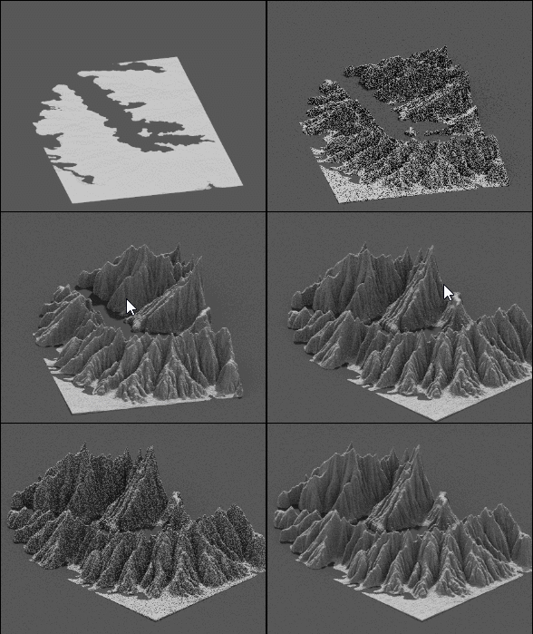
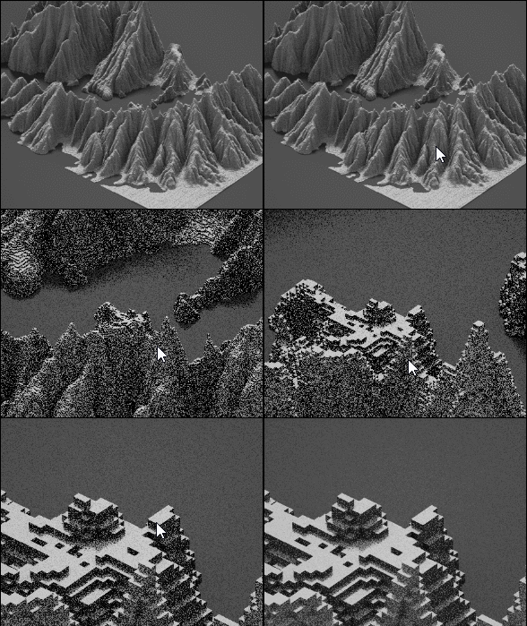
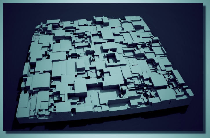
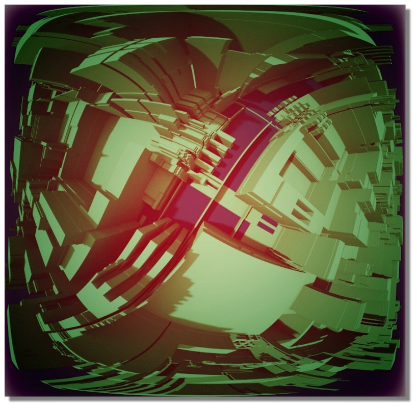
some try (make the heightmap with the incredible free JSPlacement! https://windmillart.net/?p=jsplacement


For the moment we can have only 2 colors: Volume/ Background
 |